-40%
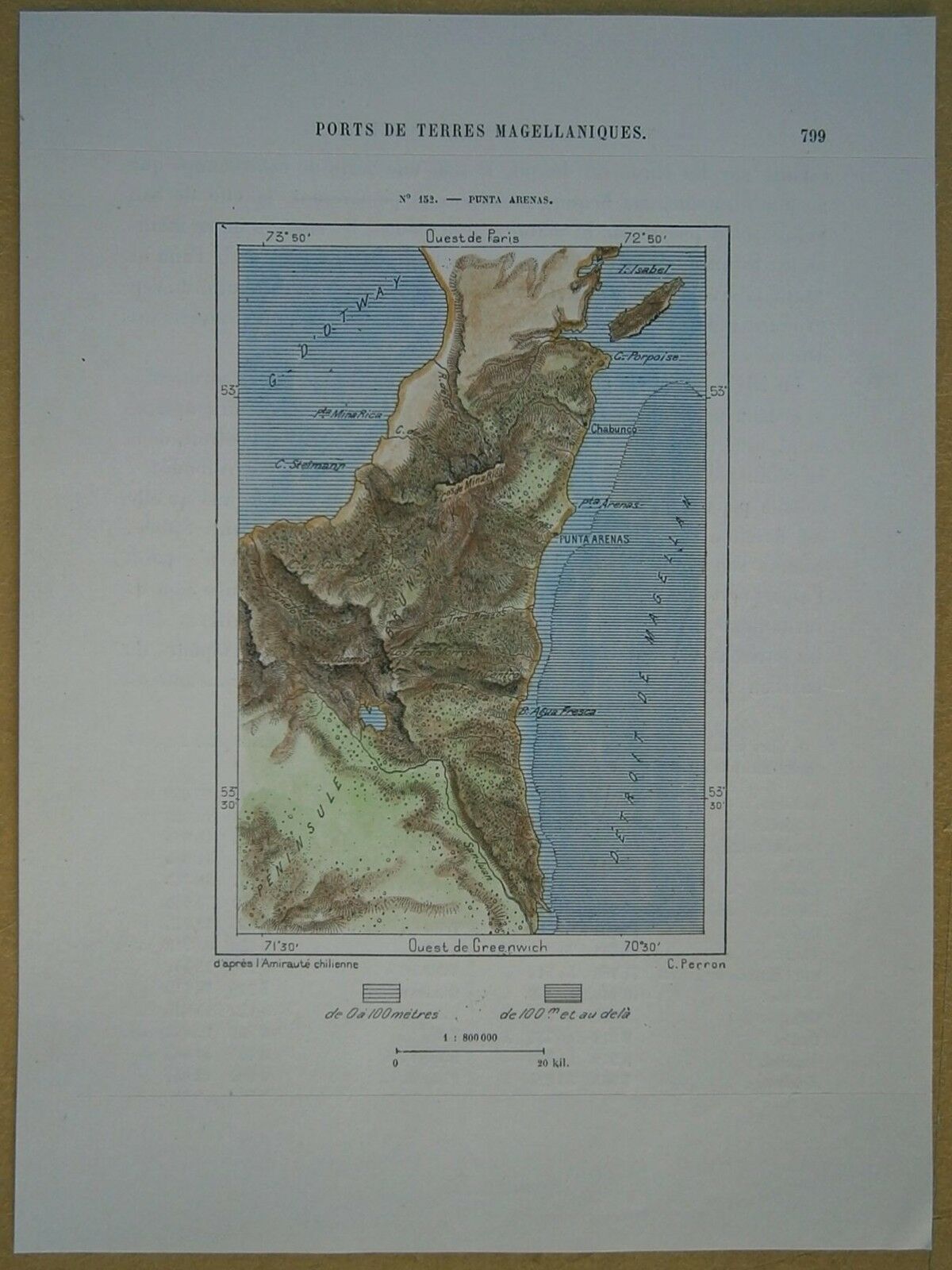
1893 Perron map PUNTA ARENAS, MAGALLANES AND ANTARCTICA CHILENA, CHILE (#152)
$ 10.55
- Description
- Size Guide
Description
Perron18_1521893 Perron map PUNTA ARENAS, MAGALLANES AND ANTARCTICA CHILENA, CHILE (#152)
Nice small map titled
Punta Arenas,
from wood engraving with fine detail and clear impression, nice hand coloring. Overall size approx. 21.5 x 16 cm, image size approx. 12 x 9 cm. From
La Nouvelle Géographie universelle, la terre et les hommes
, 19 vol. (1875-94), great work of Elisee Reclus. Cartographer is Charles Perron.
Punta Arenas
city, southern Chile. Punta Arenas lies on the Strait of Magellan between the Pacific and Atlantic oceans and is the southernmost large city in the world. Founded in 1849 by Colonel José de los Santos Mardones, it flourished as a port of call and coaling station until the opening of the Panama Canal (1914) and the replacement of coal (still mined nearby) by fuel oil as a maritime fuel. Now the service centre of a large sheep-raising area, it processes and exports hides, wool, and frozen mutton. Its port facilities also handle local lumber and petroleum products. The nearby Tierra del Fuego oil fields, the attractions of the free port, and the maintenance of naval, air, and army garrisons have all contributed to the city's modern growth. Surface communication and an international airport connect it with the north and Tierra del Fuego. Pop. (2002) 116,005.


