-40%
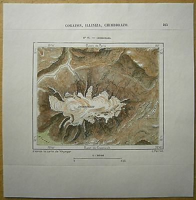
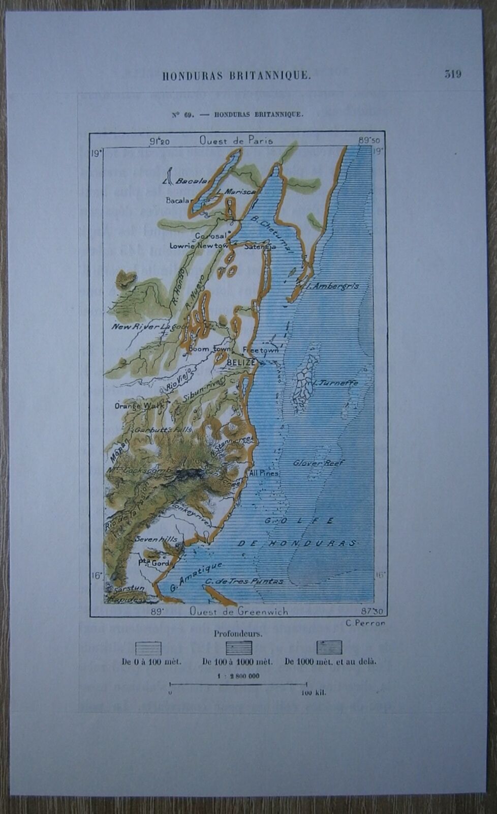
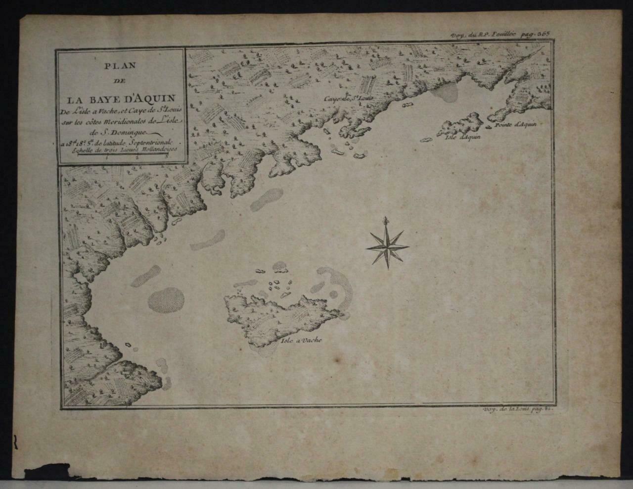
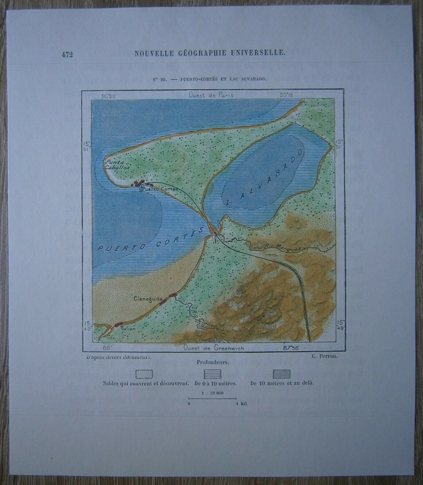
1893 Perron map CHIMBORAZO, ANDES, ECUADOR (#77)
$ 10.55
- Description
- Size Guide
Description
Perron18_0771893 Perron map CHIMBORAZO, ANDES, ECUADOR (#77)
Nice map titled
Chimborazo,
from wood engraving with fine detail and clear impression, nice hand coloring. Overall size approx. 16.5 x 16 cm, image size approx. 10.5 x 8.5 cm. From
La Nouvelle Géographie universelle, la terre et les hommes
, 19 vol. (1875-94), great work of Elisee Reclus. Cartographer is Charles Perron.
Chimborazo
mountain peak, Chimborazo province, central Ecuador, in the Cordillera (mountains) Occidental of the Andes. Rising to 20,702 ft (6,310 m), it is the highest peak of Ecuador and was long mistakenly thought to be the highest mountain of the Andes. An inactive volcano with many craters, it is heavily glaciated. From about 15,400 ft, the mountain is capped with eternal snow. Many attempts were made to climb Chimborazo in the 18th and 19th centuries; the first to reach the summit was the British mountaineer Edward Whymper, who climbed the peak twice in 1880. The geographer and traveler Alexander von Humboldt reached 18,893 ft in 1802.
