-40%
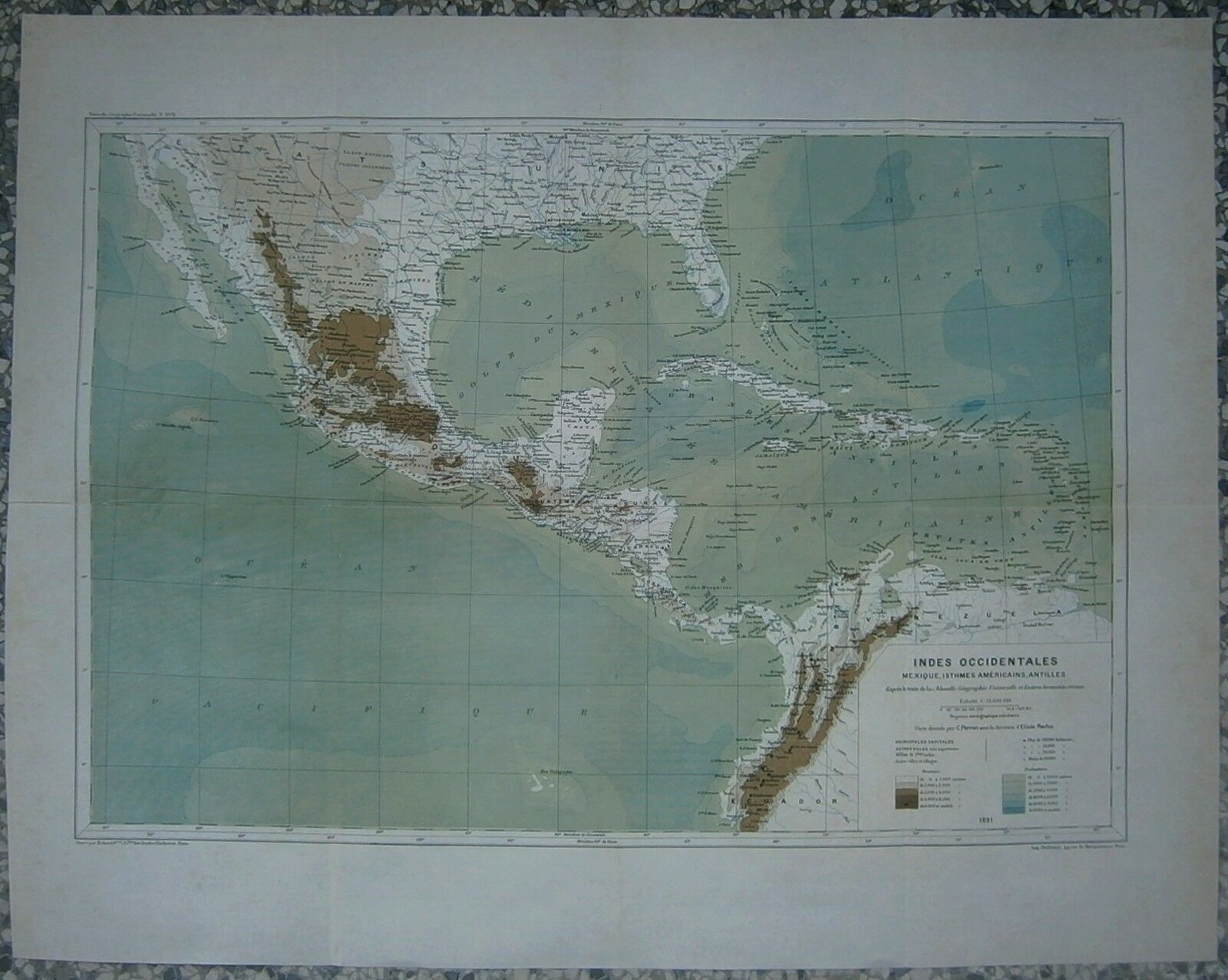
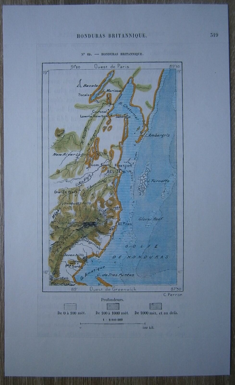
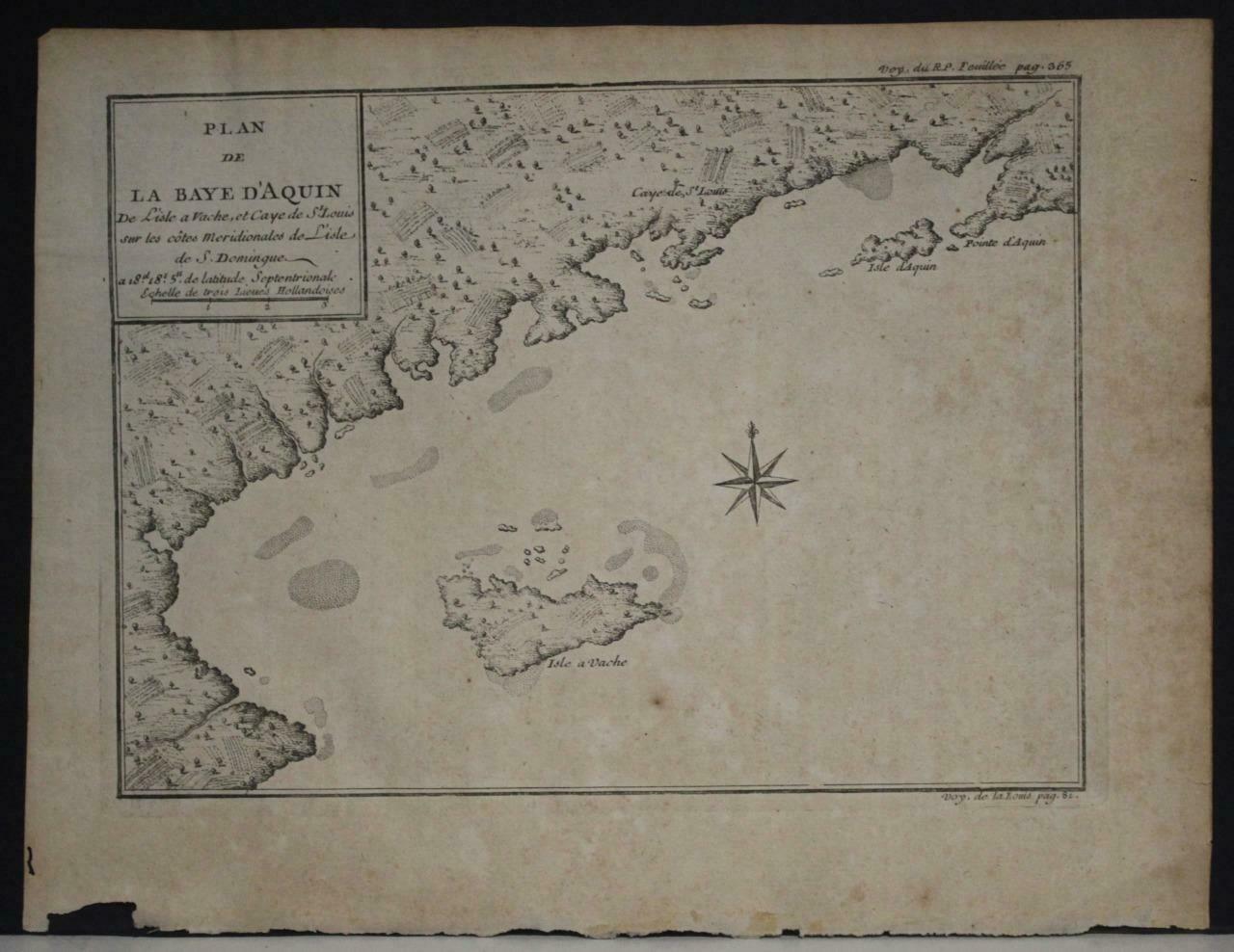
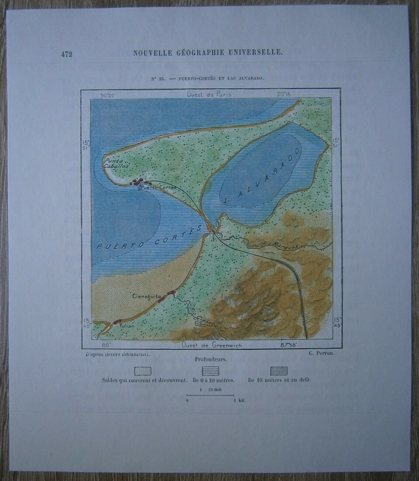
1891 Reclus map MEXICO, CENTRAL AMERICA AND CARIBBEAN (#4)
$ 21.12
- Description
- Size Guide
Description
ReclusMap17_041891 Reclus map MEXICO, CENTRAL AMERICA AND CARIBBEAN (#4)
Map
titled
Indes Occidentales Mexique, Isthmes Americains, Antilles,
overall size is approx. 63.5 x 50 cm, image size is approx. 53 x 36 cm. From
La Nouvelle Géographie universelle, la terre et les hommes
, 19 vol., 1875-94 (In English:
The Earth and Its Inhabitants
, 1878-94), great work of Elisee Reclus.
