-40%
1891 Perron map LA PAZ, BAJA CALIFORNIA SUR, MEXICO (#32)
$ 10.53
- Description
- Size Guide
Description
Perron17_0321891 Perron map LA PAZ, BAJA CALIFORNIA SUR, MEXICO (#32)
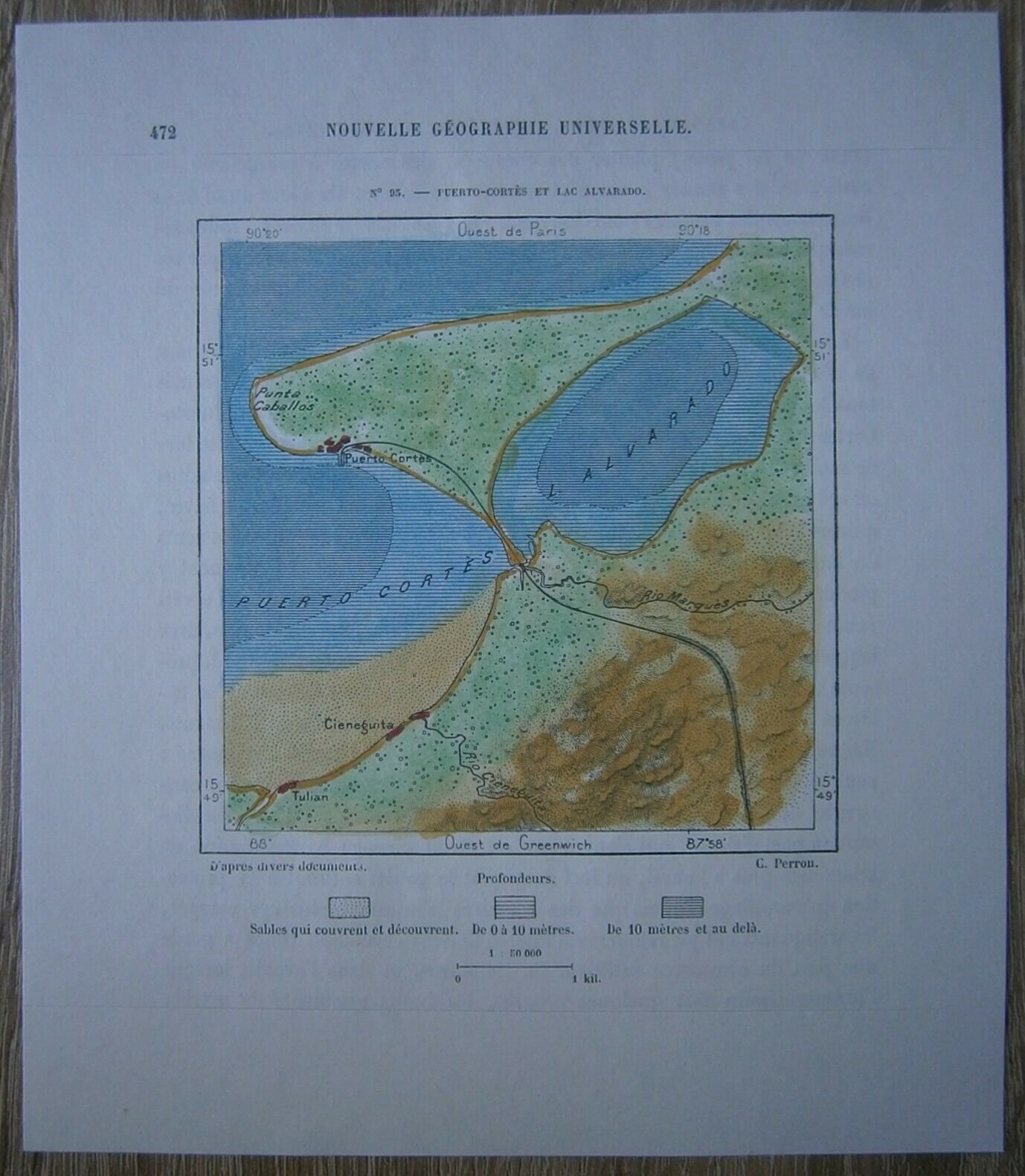
Nice small map titled
La Paz,
from wood engraving with fine detail and clear impression, nice hand coloring. Overall size approx. 16 x 16 cm, image size approx. 11 x 8 cm. From
La Nouvelle Géographie universelle, la terre et les hommes
, 19 vol. (1875-94), great work of Elisee Reclus. Cartographer is Charles Perron.
La Paz
city, capital of Baja California Sur estado (state), northwestern Mexico. It lies about 40 feet (12 metres) above sea level on sheltered La Paz Bay of the Gulf of California (also called Sea of Cortez) and has a hot dry climate. Spaniards charted the bay in 1533, but a Jesuit mission was not established there until 1720; it was abandoned some 30 years later because of the harsh climate, Indian uprisings, and the loss of much of the local population to introduced diseases. Pearl diving and mining continued to attract Spanish interests, and a permanent settlement was founded in 1811. La Paz became the territorial capital in 1829.
La Paz has been a popular tourist destination since the mid-1970s, when an international airport was completed and the Transpeninsular Highway from the U.S.-Mexico border was paved. Attractions, in addition to its sunny beaches and beautiful bay, include sport fishing (marlin, sailfish, tuna, and others), aquatic sports, and excursions to nearby islands for diving and wildlife observation. Manufactures include plastics and clothing. La Paz is also a commercial fishing port, a regional transportation centre, and a market for agricultural products from the surrounding countryside, including corn (maize), wheat, beans, cotton, and cattle. La Paz may be reached by road and air links as well as by automobile ferry from the Mexican mainland. Pop. (2000) 162,954; (2010) 215,178.


