-40%
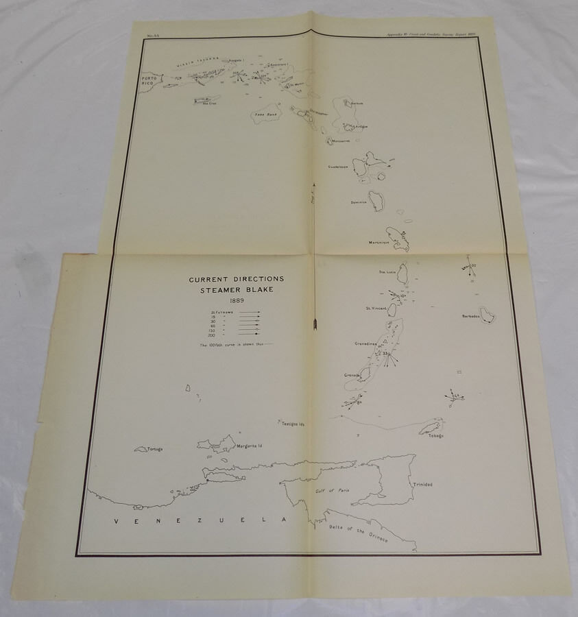
1890 Coast & Geodetic Survey Map/ISLANDS BETWEEN VIRGIN ISLANDS/VENEZUELA/B/1889
$ 10.55
- Description
- Size Guide
Description
Name - Coast and Geodetic Survey Map of Islands between Virgin Islands and Venezuela, in the year 1889Date - 1890
Source - Report of the Superintendent of the U S Coast and Geodetic Survey
Location -Virgin Islands, St Christopher Island, Guadeloupe Island, Martinique Island, St Vincent Island, Grenadines, Tobago, Trinidad, Barbados, etc
Type - printed on light paper, folded to fit into the Report
Size - about 15.25x22.25"
Condition - Fine
Yes!! We Do Combine Shipping on Multiple Purchases!!
NO RESERVE!! Happy Bidding!
Shipping and etc.:
Buyer pays shipping/packing.
We use very secure packaging methods and materials, and all shipments within the United States
will be made with the protection of the USPS Parcel shipping category.
(First Class or Priority, depending on weight)
Note that certain items may be shipped in the USPS Media Mail category, if appropriate.
Pennsylvania residents MUST add applicable SALES TAX
or send resale number.
Thanks.
Good Luck!
To See Our Other Auctions and Store Items CLICK HERE!


