-40%
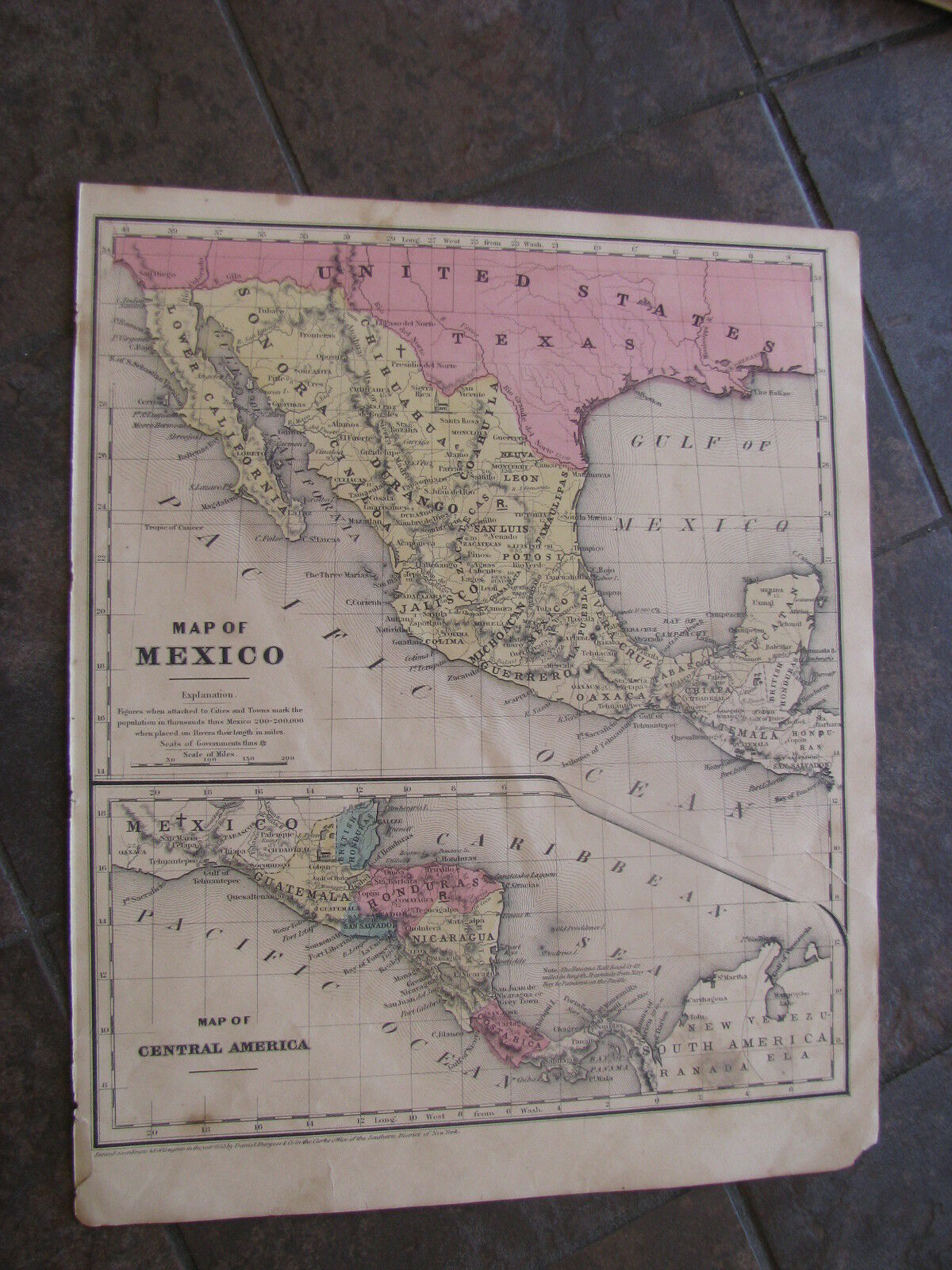
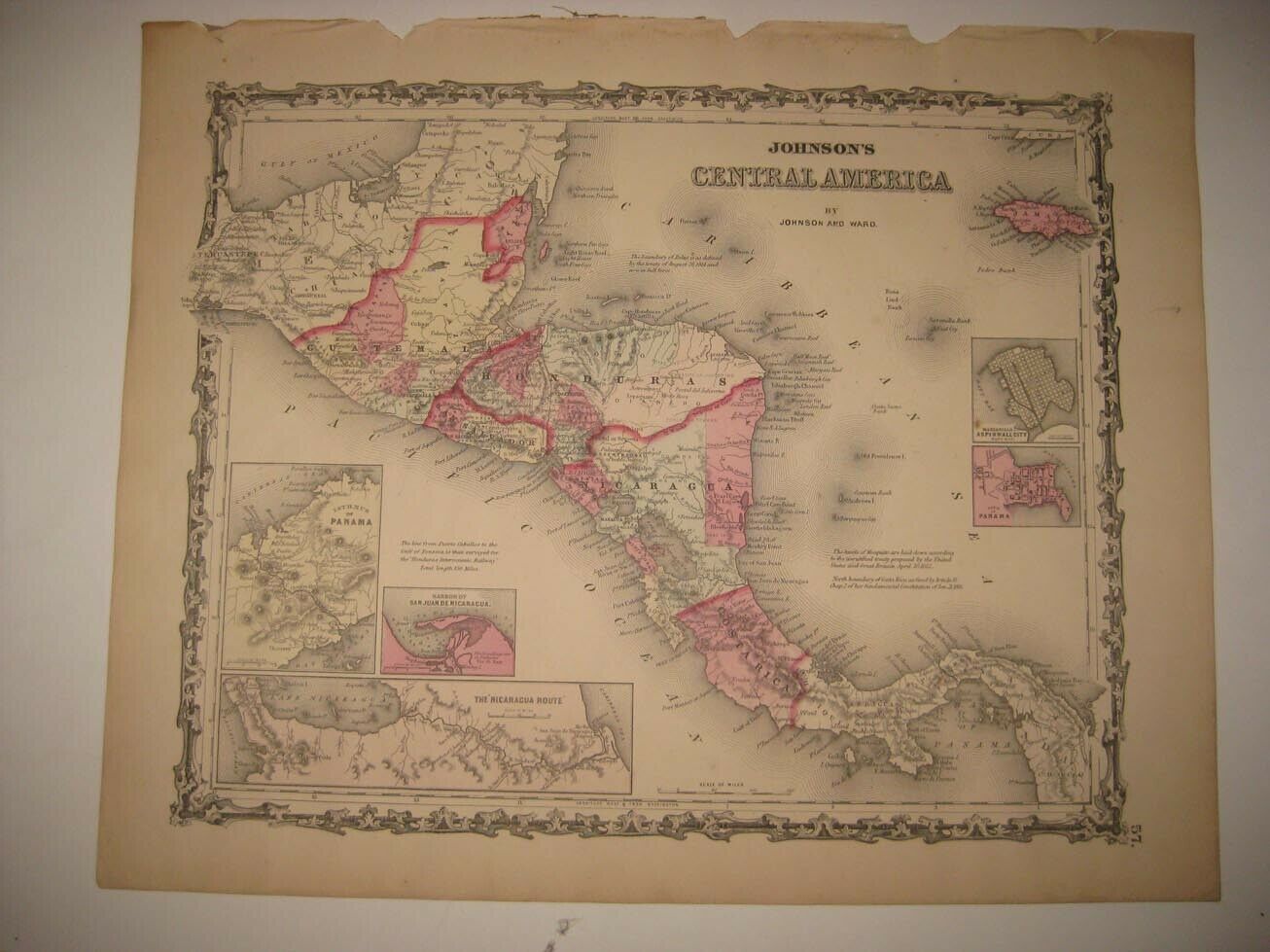
1853 ORIGINAL Map of Mexico, Honduras, Guatamala, Costa Rica, Nicaragua
$ 13.19
- Description
- Size Guide
Description
Original hand colored engraving as issued.Blank on verso. Dated in the plate.
Engraved by Sherman & Smith.
Entered into Congress by John Paine.
Image area is 9.25" wide x 7.5" high.
Interesting and detailed county map.
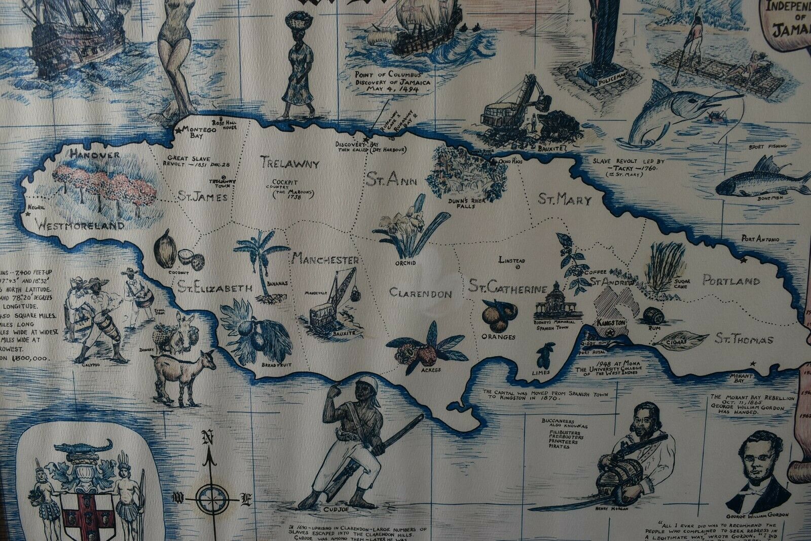
Populations for each island are given.
Beautifully executed, very attractive hand color, will frame nicely.
Overall average condition with moderate ageing.
Some typical toning and spotting for an item of this age.
Short tear in right margin has been mended with acid free material. See photos.
Low starting bid with no reserve.
Postage charge is for domestic insured priority mail.


