-40%
1852 Historic Routes Across the Americas to the Pacific Antique Mitchell Map
$ 6.83
- Description
- Size Guide
Description
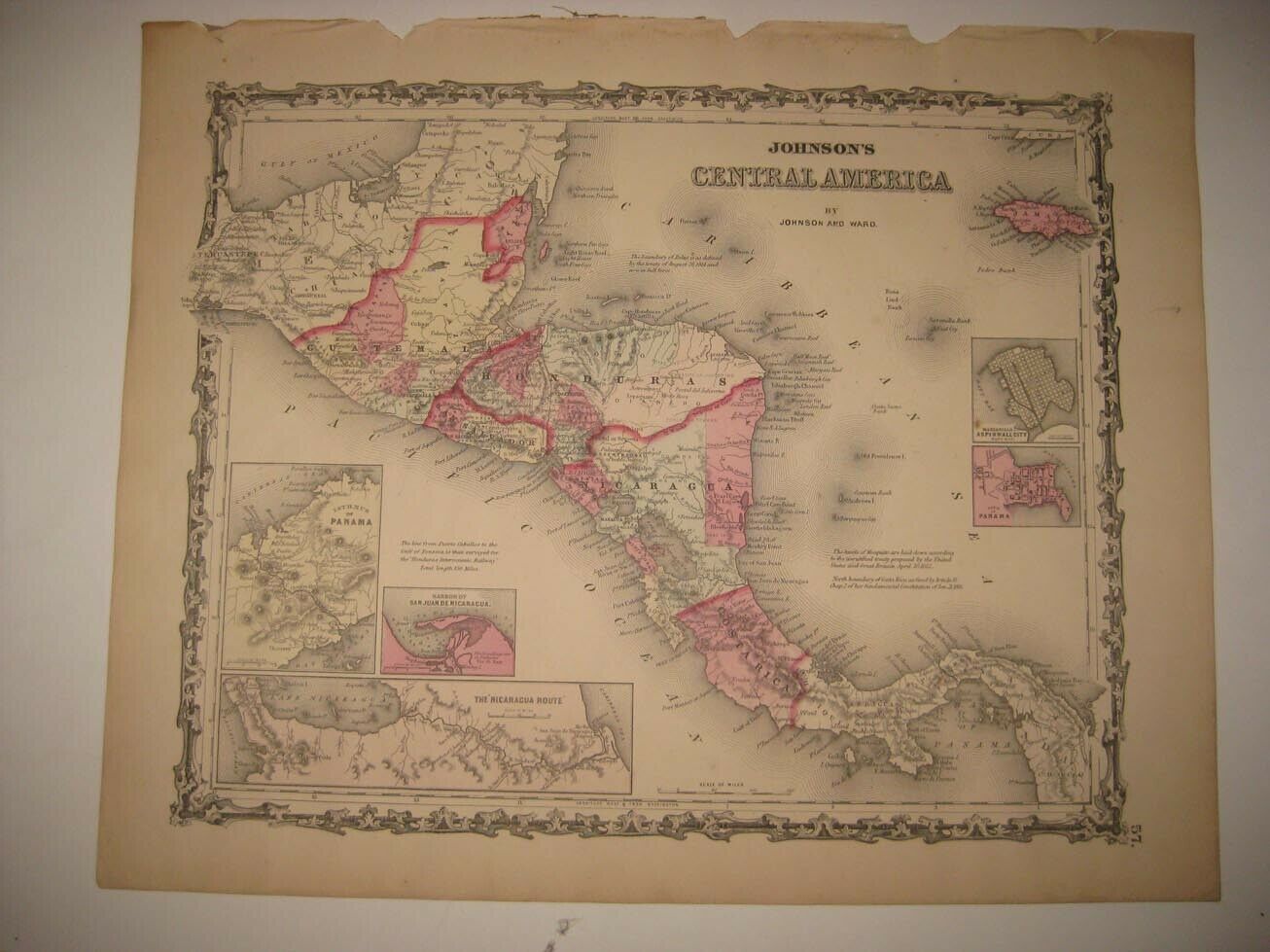
1852 Original Mitchell Maps Nos. 16-19Mexico,Central America and the West Indies
Historic Maps Showing Proposed Routes from the Atlantic To Pacific Oceans
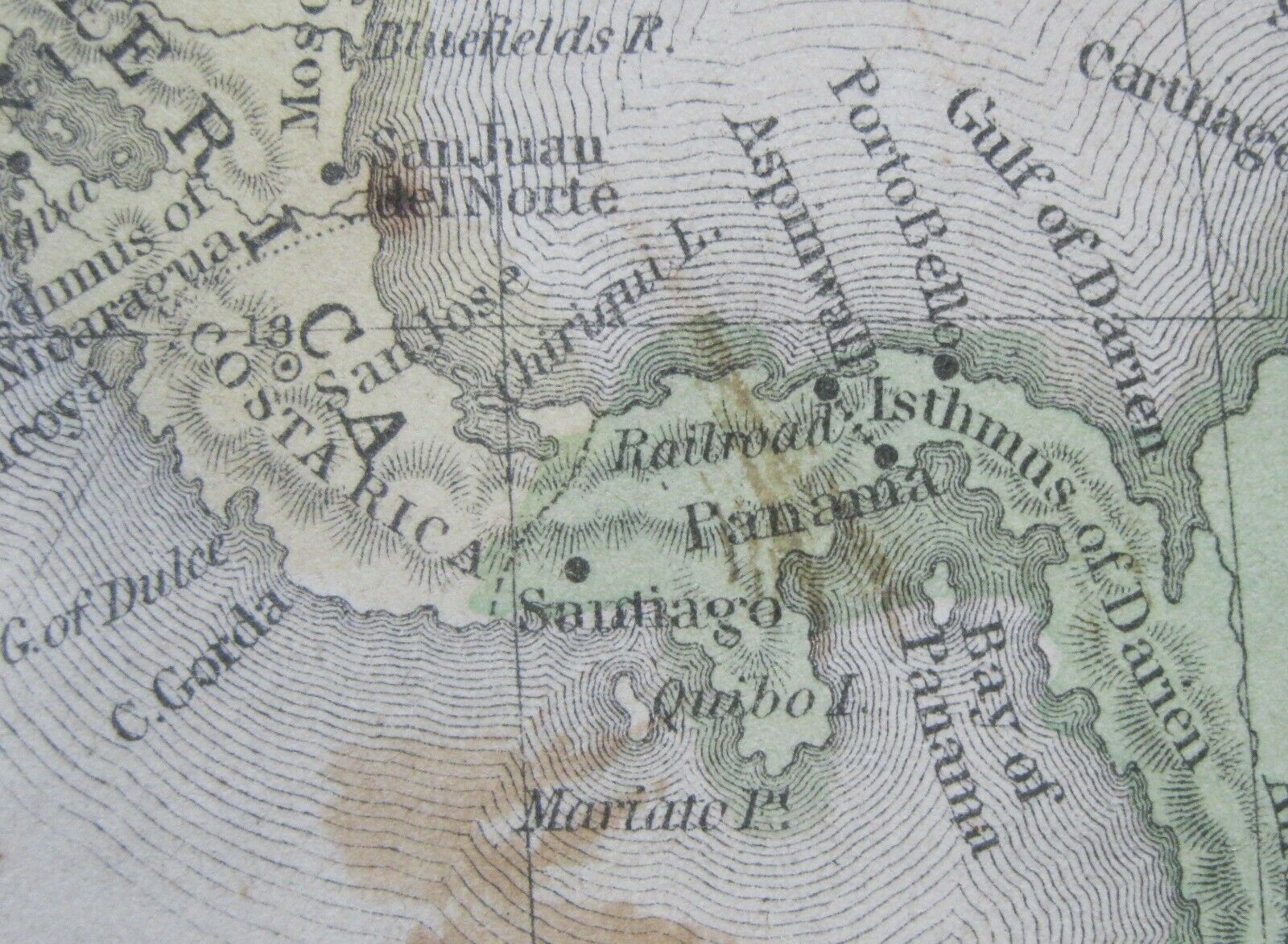
Map No.16
By 1855, the United States had bankrolled a railroad from the South American nation of New
Granada from the city of
Colon (also known as Aspinwall named for railroad promoter, William Aspinwall) across the
Isthmus of Darien
to Panama City on the Pacific Ocean. The first coast to coast train departed the east coast on January 28, 1855. Note: In 1903 The Darien (Panama) Isthmus with the assistance of the U.S. who positioned the warship
Nashville
in the Gulf of Darien separated from Columbia
(formerly
New
Granada
) and became the nation of Panama. Fifteen days later Panama
signed
a treaty with the U.S. to built the Panama Canal.
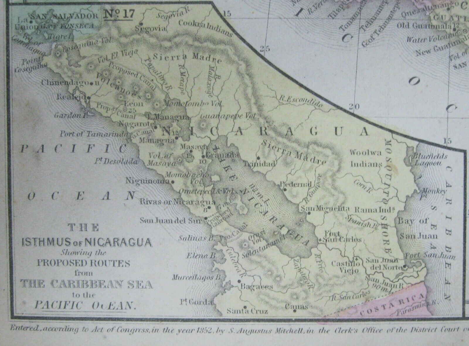
Map No.17
The Isthmus of Nicaragua showing Routes from the
Caribbean
Sea to the Pacific Ocean
Starting by steamboat at San Juan River on the Caribbean Sea , which runs up to the Castilian Rapids; then, after a portage of half a mile, another steamboat up the river to San Carlos; then across Lake Nicaragua to Virgin Bay. Then by pack-mules to San Juan del Sud, on the Pacific. The distances on the river and lake were about equal, being about seventy-five miles each, and from twelve to fifteen miles by land.
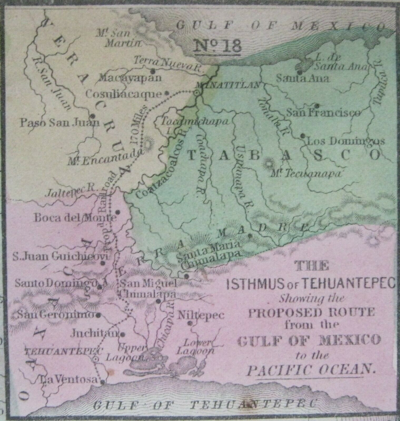
Map No.18
The Isthmus of Tehuantepec in Mexico, showing the proposed railroad route connecting the Gulf of Mexico and the Pacific. This was an alternative proposal to the construction of the Panama or Nicaragua canals, and was favored by some due to the shorter shipping distances, however funds were approved by congress for the Panama Canal project, and the Tehuantepec route was abandoned by the United States. The project was undertaken by the Mexican government, and completed in 1907.
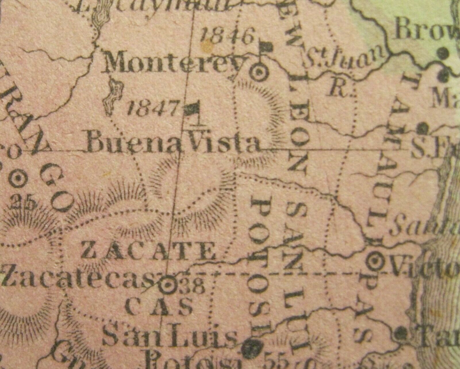
Map No. 16 also shows the locations of the Battles Monterrey (1846) and Buena Vista (1847) fought during the Mexican-American War.
At Buena Vista in February 1847, and at Monterrey in September, Gen Zachery Taylor proved a brilliant military commander, earning the nickname “Old Rough and Ready” while emerging from the war a national hero. In 1848 he was elected president.
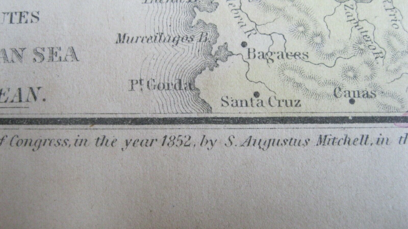
This 1852 Antique Original Handpainted Map
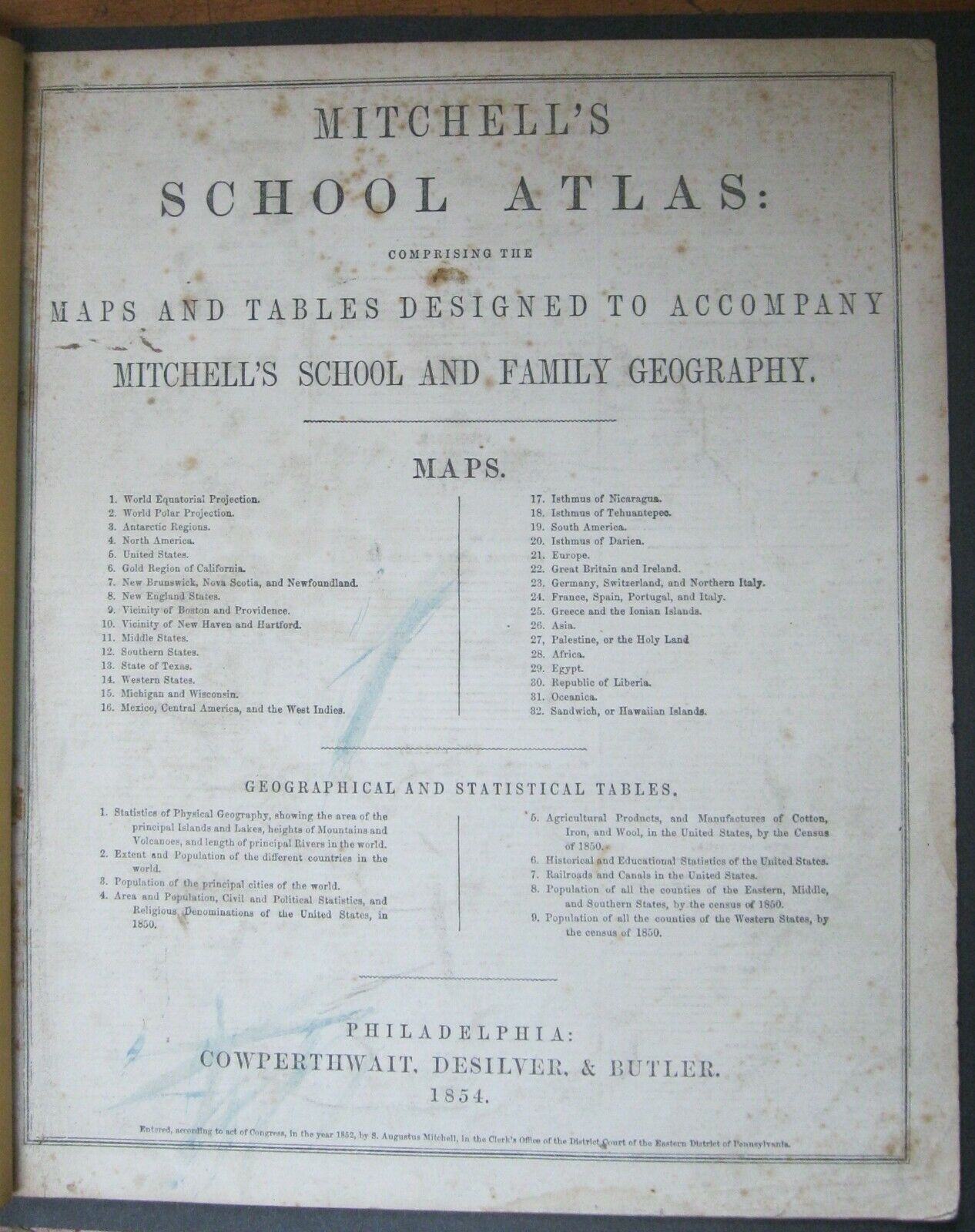
this map is from
Mitchell's School
Atlas
Maps Designed To Accompany
Mitchell's School and Family Geography
(blank on reverse)
Produced by Renowned Publishers
Cowperthwait, Desilver & Butler
1854
(The atlas title page shown in the photos are not a part of this sale
but only for documentation of the map's origin.)
Samuel Augustus Mitchell
(1790-1868)
Samuel Augustus Mitchell
was a renown American geographer. Born in Connecticut he worked as a geography teacher but soon realizing there were only poor quality geographical resources available to teachers he turned to publishing. He moved to Philadelphia, a major center for publishing at the time, around 1830 and founded his company. It becoming one of the leading map and atlas publishers of the nineteenth century being one of the first to try out the new technique of engraving on steel plates. He experimented with steel almost 20 years before the rest of the publishing industry. This map was made prior to his son, S. Augustus Mitchell, becoming owner in 1860.
This historically significant map
has strong color and a very rich patina that would frame up with an antique quality.
A great addition to any collection of
antiques
maps
history
educational history
Approximate Sizes:
Page: 9.40" x 11.65"
Map image: 8.15" x 10.55"

