-40%
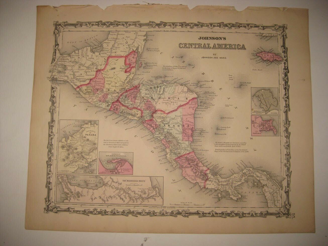
1770 BONNE rare Map CENTRAL AMERICA, HAITI, CARIBBEAN, PUERTO RICO SANTO DOMINGO
$ 7.91
- Description
- Size Guide
Description
DESCRIZIONE / DESCRIPTION / BESCHREIBUNG / DESCRIPTIONWARNING:
THIS IS AN ORIGINAL
COPPER ENGRAVING
OF THE
1787 Ed.
, VERY RARE AND PARTICULAR, HARD TO FIND FOR SALE FOR HIS RARITY, PRECIOUSNESS, PURITY, ORIGINALITY, AND IN PARTICULAR FOR HIS RAPPRESENTATION IN STYLE VERY SPECIAL, WITH AN IMPRESSION VERY VERY MEANINGFUL, AS YOU CAN WELL OBSERVE IN THE PHOTOS.....;
THANK YOU VERY MUCH FOR YOUR ATTENTION....!!!
"antiqua.trinacria"
DESCRIPTION:
"
...CENTRAL AMERICA, CARIBBEAN, PUERTO RICO, SANTO DOMINGO, HAITI.
..
"
THIS IS AN ORIGINAL AND ULTRA-RARE GEOGRAPHICAL MAP OF THE
1787 Edit.
OF THE FAMOUS WORK/OPERA of
"M. BONNE & M. DESMAREST"
:
"Atlas Encyclopédique"
, Contenant la Géographie Ancienne et Quelques Cartes sur la Geographe du Moyen Age la Gepgraphie Moderne et les Cartes Relatives a la Geographie Phisique...... etc, etc, etc, etc...
:
HOTEL DE THOU, A Paris
,
1787
;
BEAUTIFUL COPPER ENGRAVING, RICH IN MEANING AND WITH COUNTLESS PLACE (TOPONOMASTIC...) NAME AND GEOGRAPHICAL DETAILS THAT ENRICH EVEN MORE ITS VALUE.
GENERAL REMARKS:
Rigobert Bonne
(1727–1795) was one of the most important Cartographers of the late
XVIII° Century
.
In 1773
R. Bonne
succeeded
Jacques Nicolas Bellin
as Royal Cartographer to France in the Office of the Hydrographer at the Depôt de la Marine.
Working in his official capacity,
R. Bonne
compiled some of the most detailed and accurate Maps of the Period.
Bonne’s
Work represents an important step in the evolution of the Cartographic Ideology away from the decorative work of the
XVII°
and early
XVIII° Century
towards a more detail oriented and practical aesthetic.
With regard to the rendering of terrain
R. Bonne
maps bear many stylistic similarities to those of his predecessor,
Bellin
.
However,
Bonne
maps generally abandon such common
XVIII° Century
decorative features such as hand coloring, elaborate decorative Cartouches, and Compass Roses, etc, etc...;
While mostly focusing on coastal regions, the work of
RIGOBERT BONNE
is highly regarded for its detail, historical importance, and overall aesthetic appeal.;
RIGOBERT BONNE
: (1727 / 1795);
SIZES of the GEOGRAPHICAL MAP / ENGRAVING:
TOTAL SIZES OF THIS GEOGRAPHICAL MAP:
Cm: 42,0
X
31,0
--
Inch: 16.8"
X
12.4"
CONDITIONS & STATUS OF THIS GEOGRAPHICAL MAP:
THIS
GEOGRAPHICAL MAP
IS AN ORIGINAL & VERY RARE
COPPER ENGRAVING
OF THE
XVIII° CENTURY
;
VERY, VERY SMALL TRACES OF NORMAL AGING AS FROM PHOTO;
BEAUTIFUL, SPECTACULAR, AMAZING DETAILS, LARGE MARGINS & BEAUTIFUL COLORATION;
SLIGHT TRACES OCCASIONAL OF MARGINAL SOILING THAT DOES NOT DAMAGE ABSOLUTELY NOTHING, AS PER PHOTOS;
THE STATUS OF THIS MAP, IN THE END, IS VERY GOOD AS SHOWN IN PARTICULAR AND ABOVE ALL, THE SAME PHOTOS;
THIS IS AN ORIGINAL AND VERY RARE GEOGRAPHICAL MAP, OF THE
1787 Ed.
, VERY, VERY HARD TO FIND FOR SALE IN THIS CONDITION...!!
WE DO NOT SELL, ABSOLUTELY, REPRODUCTIONS.....!
______________________________________________________________
N.B.:
All items are unconditionally guaranteed to be Authentic as described;
OUR GUARANTEE:
We guarantee our items 100% in authenticity and customer satisfaction.
OUR RETURN POLICY:
We offer a full money-back (SHIPPING INCLUDED) guarantee of the purchase price if we are notified within 7 days after the buyer receives the merchandise.
SHIPPING COST:
The shipping costs will have the fixed price of $ 16.90 USD;
NATIONAL & INTERNATIONAL SHIPPING:
The shipping will be done 1 or 2 days after we would received the payment; The shipment will be made via NATIONAL or INTERNATIONAL REGISTERED AIR-MAIL Traceable, with Tracking Number or with the "INTERNATIONAL EXPRESS COURRIER" (DHL or UPS or Others Courrier), but this last one to "AGREE THE FINAL PRICE";


